July 2021 floods in Wallonia: five years later, what is changing for your projects

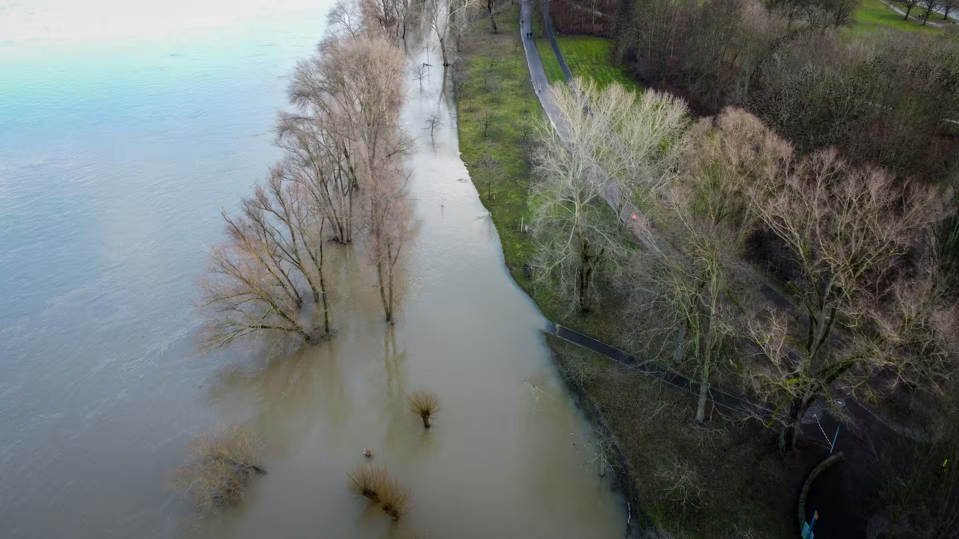
In July 2021, floods affected 209 of Wallonia's 261 municipalities, leaving behind damages estimated at 2.3 billion euros and tens of thousands of insurance claims. Five years later, the Public Service of Wallonia (SPW) has published a comprehensive report on its actions and implemented structural changes: new construction rules in flood-prone areas, systematic use of Nature-based Solutions (NbS), reorganized crisis management, and strengthened planning at the watershed level. For industrial, real estate, or public project developers in Wallonia, these changes apply immediately and must be integrated from the feasibility phase.
The 2021 disaster: a regulatory turning point
According to data published by Assuralia in June 2026, the July 2021 floods generated nearly 74,000 insurance claims for a total cost of approximately 2.3 billion euros, with 2.24 billion in Wallonia alone. The Walloon Region covered 1.03 billion euros of these damages. As of March 31, 2026, 98.3% of claims had been closed and settled. While physical reconstruction is progressing, the most significant transformations have occurred at the regulatory and operational levels; these are what now dictate the processing of projects in exposed areas.
Since the disaster, the SPW has reorganized its crisis management tools, tightened requirements for projects in exposed areas, and integrated Nature-based Solutions into its prevention strategy. Here is what this means for your files.
Stricter urban planning rules in flood-prone areas
The SPW Territory, Housing, Heritage and Energy (SPW TLPE) now applies a stricter approach to construction in flood-prone areas. New guidelines and urban planning rules govern projects to reduce vulnerability across the entire regional territory. These documents are mandatory for project designers and environmental impact assessment authors.
For any project located in a flood-prone or runoff-prone area, an Environmental Impact Assessment (EIA) or an Impact Assessment Notice (NEI) must now include a flood risk analysis, demonstrate the project's compatibility with this risk, and, if necessary, propose appropriately sized vulnerability reduction measures.
Furthermore, the GISER unit (Integrated Soil-Erosion-Runoff Management) of the SPW Agriculture, Natural Resources and Environment (SPW ARNE) now provides opinions on urban planning projects exposed to runoff flood risks. This consultative role must be factored into the permit application timeline.
Fully reorganized crisis management
Following recommendations from the Walloon parliamentary commission of inquiry, the SPW has acquired new tools. The Risk Coordination and Expertise Transmission Center (CORTEX) ensures coordination during exceptional events. The Regional Crisis Management Plan (PRGC) has been adopted. Collaboration with the Royal Meteorological Institute (RMI) has been strengthened to improve the early warning chain.
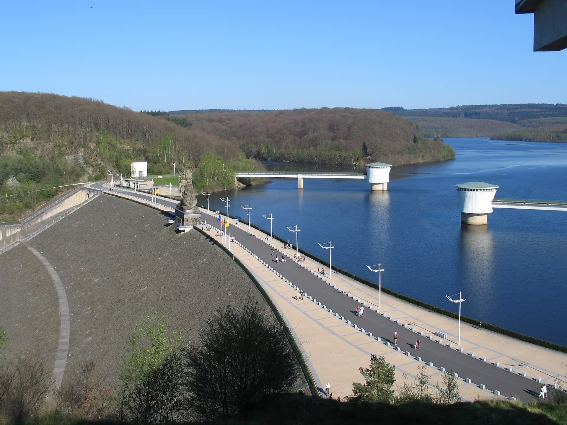
Regarding infrastructure, a decree adopted in 2024 establishes, for the first time, safety standards and operating procedures for the 15 Walloon reservoir dams, managed jointly by the SPW Mobility and Infrastructure (SPW MI) and Engie. This legal framework defines the roles and obligations of each manager. In parallel, the SPW MI and the Walloon Water Company (SWDE) are developing a dynamic decision-support tool for managing water reserves in the Gileppe and Vesdre dams.
Nature-based Solutions at the heart of prevention
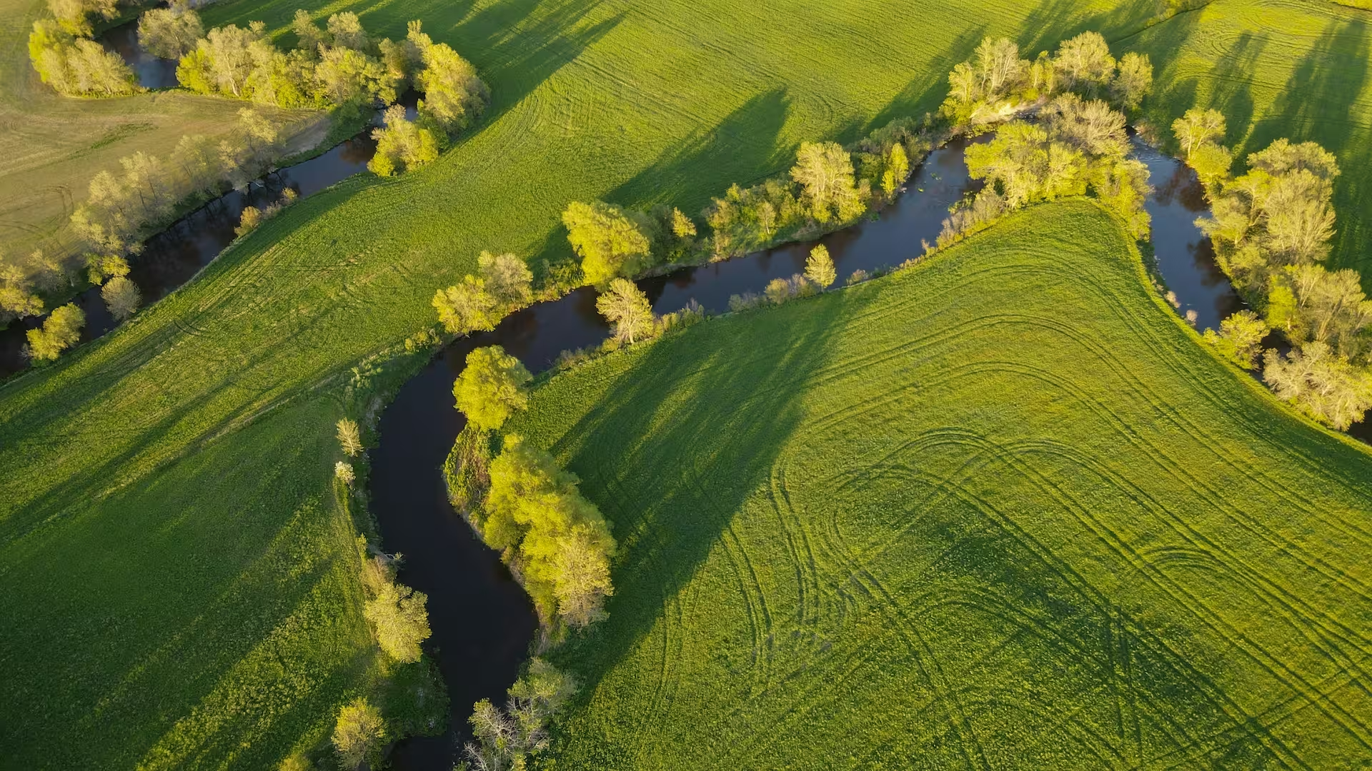
Wallonia's strategic choice is clear: Nature-based Solutions (NbS) are a primary lever for flood prevention, alongside traditional hydraulic structures. The SPW ARNE builds or funds local developments throughout the Walloon territory: temporary immersion zones, flood expansion areas, and the re-meandering and uncovering of watercourses. The goal is to slow down and store water rather than discharging it rapidly downstream.
This approach generates three simultaneous benefits: flood risk reduction, biodiversity preservation, and better water resource management. For project developers located near watercourses or in wetlands, this means that feasibility studies and EIA/NEI reports must account for NbS projects that are planned or already implemented near the site.
The Vesdre Valley: structural watershed planning
The reconstruction of the Vesdre Valley is emblematic of the scale of the work undertaken. After some fifty urgent interventions carried out between 2021 and 2026 (securing banks, repairing roads and bridges), major resilient bank reconstruction projects are now underway, led by the Non-Navigable Watercourses Directorate (DCENN) of the SPW ARNE in collaboration with SPI, the territorial development agency for the province of Liège. An information system called Rives supports these projects for the benefit of the public.
Even more foundational for project developers: the SPW TLPE has commissioned a multidisciplinary strategic plan for the Vesdre watershed and Sustainable (Re)development Programs for affected neighborhoods (PDDQ). These planning documents establish the guidelines for urban planning, the environment, and mobility for the coming years. Any project located within this watershed must take them into account.
What this means for your projects
Four practical implications arise directly from this new framework for project developers in Wallonia.
Any project located in a flood-prone or runoff-prone area must undergo a preliminary risk assessment during the feasibility phase, taking into account the new SPW TLPE urban planning guides and the potential input from the GISER unit. The Environmental Impact Assessment (EIA) or the Note on Environmental Impact (NEI) prepared for this type of project must address flood risk more thoroughly than before: precise identification of the exposed area, demonstration of the project's compatibility, and vulnerability reduction measures. The planning documents currently underway in the Vesdre valley (Strategic Plan, PDDQ) serve as enforceable references that can define buildable zones or establish compatible land uses. Finally, Nature-based Solutions must be integrated from the design stage: they can act as a constraint (an area reserved for natural development) or an opportunity (enhancing a project by aligning it with territorial resilience initiatives).
ABV Environment assists project developers in integrating these new requirements: preliminary flood risk analysis, drafting of hydrological and water-related sections in EIAs/NEIs, dialogue with the GISER unit and SPWARNE, and decision-making support regarding the location and design of exposed projects.